Canada, Mont-Tremblant
Circuit Mont-Tremblant
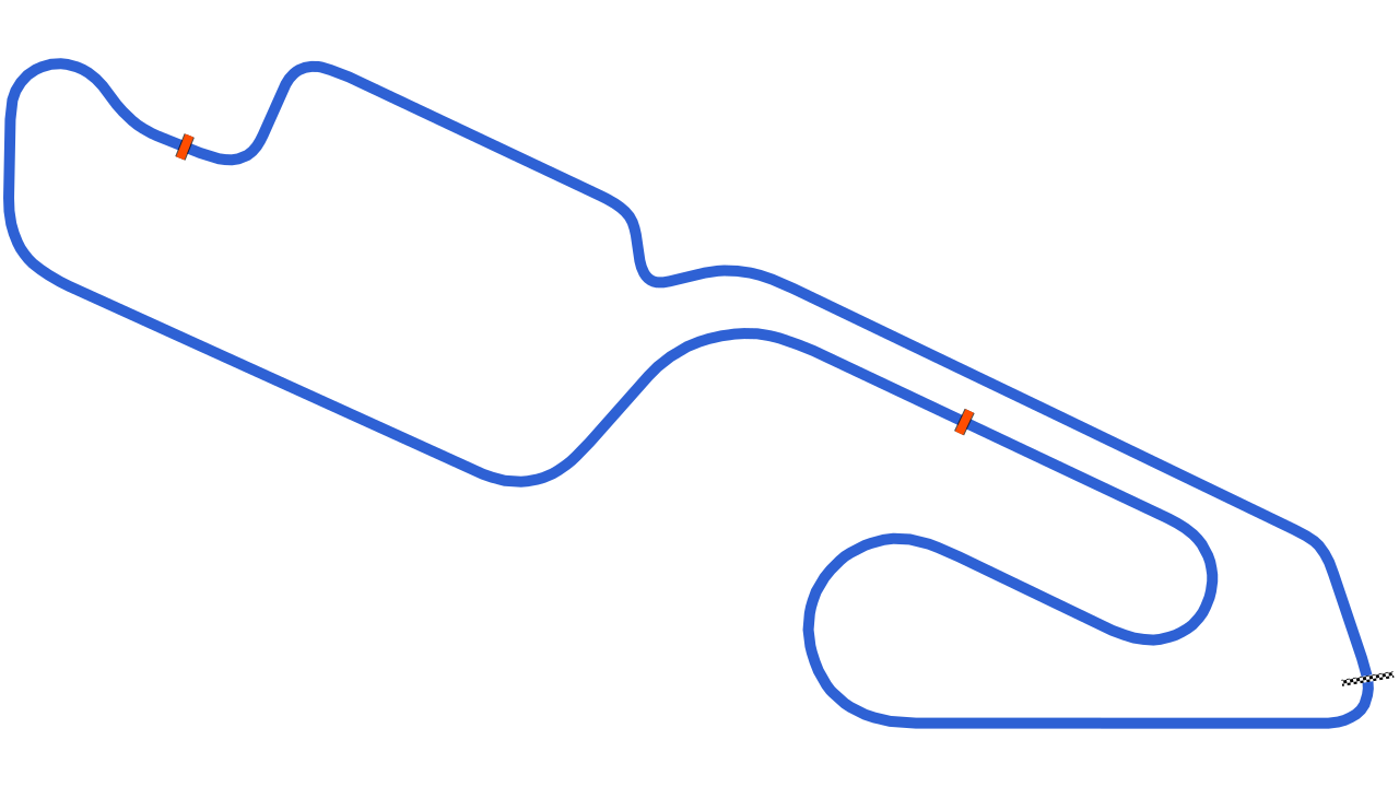
A 4.26 km circuit in Mont-Tremblant. Timed layouts, lap times and what you need to know before a track day here.

Going to Circuit Mont-Tremblant?
See which corner costs you the most time.
Record the session on your phone. Vetkuro splits the laps, times every sector and shows where the gap to your best lap opens.
Filming your laps?
Put speed, delta and lap time on your onboard video.
Overlay the data from the same session on the footage, synced automatically. One file to watch back, or to share.
Driving with friends?
Find out who is faster, and in which corner.
Overlay two laps from the same day and see exactly where the gap opens, not only the final number.
Track layouts
-
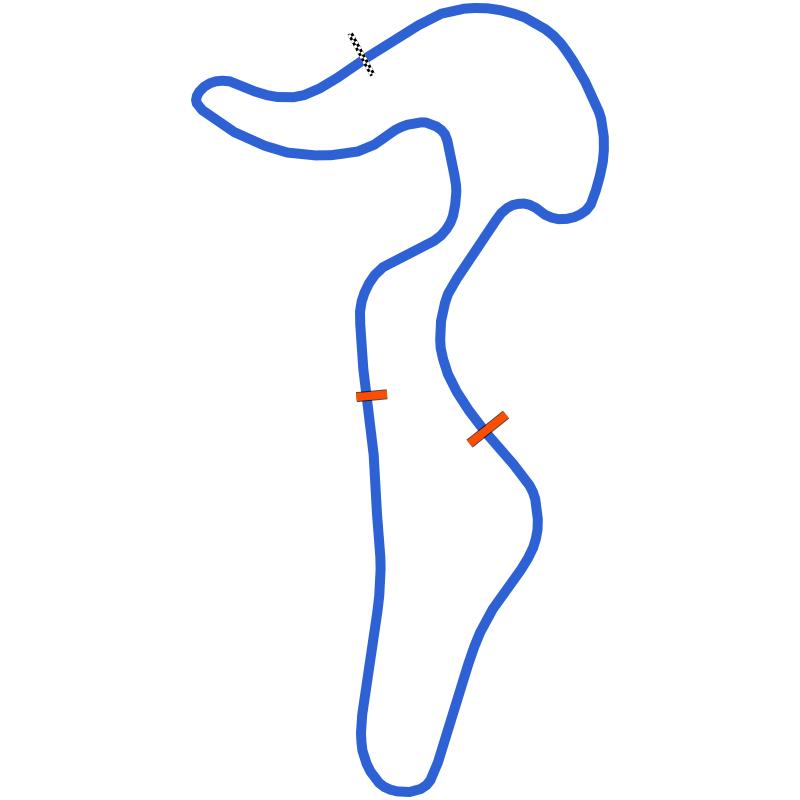 Circuit Mont-Tremblant
4.26 km
No laps yet
-
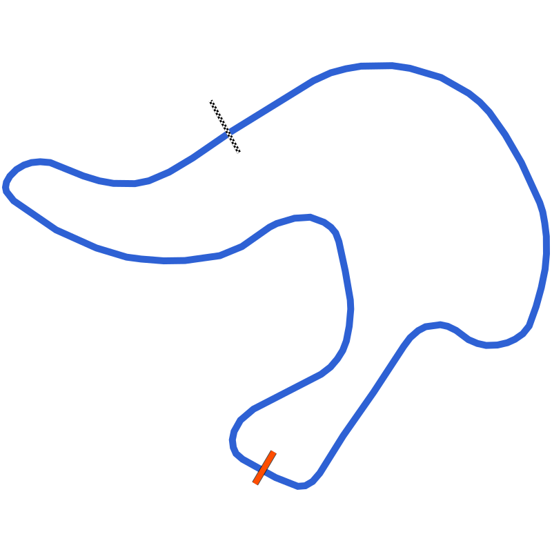 Circuit Mont-Tremblant North
2.46 km
No laps yet
-
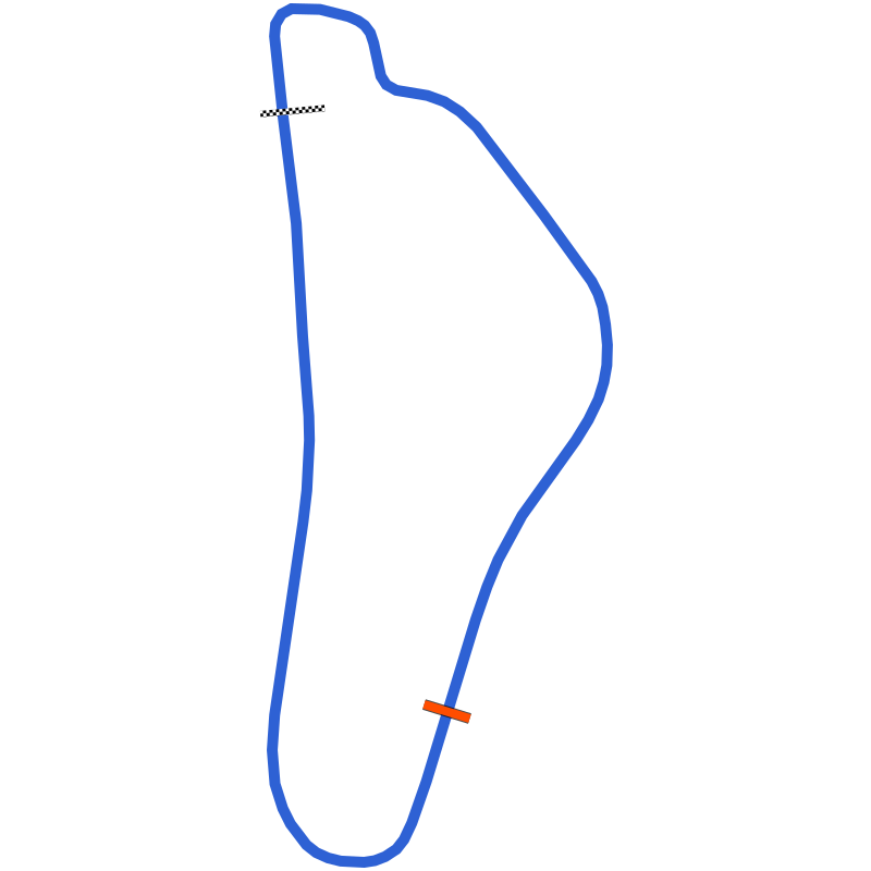 Circuit Mont-Tremblant South
1.91 km
No laps yet
Lap times only compare within one layout.
Going to Circuit Mont-Tremblant?
See which corner costs you the most time.
Record the session on your phone. Vetkuro splits the laps, times every sector and shows where the gap to your best lap opens.
Filming your laps?
Put speed, delta and lap time on your onboard video.
Overlay the data from the same session on the footage, synced automatically. One file to watch back, or to share.
Driving with friends?
Find out who is faster, and in which corner.
Overlay two laps from the same day and see exactly where the gap opens, not only the final number.
Recorded on Vetkuro · No sessions yet
Circuit Mont-Tremblant lap times
Timed from GPS on real track days, not typed in. Compare within one layout and one vehicle class, because a motorcycle lap and a car lap are not the same thing.
No recorded laps on Circuit Mont-Tremblant yet.
Record a session on this layout and your lap becomes the time other drivers in your class compare against.
Track day guide
Track day at Circuit Mont-Tremblant
Weather by month, who runs the days and what to put in the car. Written for a first visit.
Who runs track days here
What to bring
- Helmet that meets the organiser's standard
- Long sleeves, long trousers, closed shoes
- Tyre pressure gauge, since pressures rise fast on track
- Removable towing eye fitted or in the car
- An empty boot: loose items out before the first session
- Your phone in a rigid mount, recording with Vetkuro
Weather by month
Now, in November: 2°C by day, −5°C at night, rain on 19 days. Warmest in July, 25°C by day on average. Coldest in January, −18°C at night. Fewest days with rain: September.
Rain: days with rain per month. Climate: NASA POWER, daily data 2016–2025. Monthly averages, not a forecast. Check the organiser's calendar for open dates. The data was obtained from the National Aeronautics and Space Administration (NASA) Langley Research Center's Prediction Of Worldwide Energy Resources (POWER) project funded through the NASA Earth Science Division.
Elevation profile
Circuit Mont-Tremblant elevation
Elevation change 33 m, steepest gradient 13.3%. The highest point, about 239 m above sea level, is 3.83 km from the start line; the lowest, about 207 m, 2.06 km.
Height above sea level, approximate. HoverTouch the profile for any point.
From a terrain model, sampled every 10 m along the track line and smoothed over 100 m. Heights above sea level are approximate: trees and buildings along the line read up to about 15 m high. Produced using Copernicus WorldDEM-30 © DLR e.V. 2010-2014 and © Airbus Defence and Space GmbH 2014-2018 provided under COPERNICUS by the European Union and ESA; all rights reserved. The organisations in charge of the Copernicus programme by law or by delegation do not incur any liability for any use of the Copernicus WorldDEM-30.
Going to Circuit Mont-Tremblant?
More to do with the session than the lap time
About Circuit Mont-Tremblant
Overview
Circuit Mont-Tremblant is a permanent road course in the Laurentian Mountains of Quebec, a few miles north of the town of Mont-Tremblant and close to its ski resort. Montreal lies roughly 130 to 145 km to the south, about an hour and twenty minutes by road on Autoroute 15 and Route 117. It is often described as the second-oldest racing circuit in Canada, and it was first known as Circuit Mont-Tremblant-St-Jovite. The circuit is a regular venue for historic racing, with Classique meetings in spring, summer and autumn and the Sommet des Légendes.
Technical Specifications and Track Features
The full Grand Prix circuit measures 4.26 km and follows the hilly ground closely, which led early visitors to compare it with the Nürburgring. Its best-known feature is the Hump on the back straight, a crest where cars could leave the ground; two Lola T70s were launched over it in practice for the 1966 Can-Am race, and Brian Redman crashed heavily there in 1977. The uphill Namerow hairpin and Paddock Bend survive from the original 1964 course. During the redevelopment of the early 2000s the track was widened to 11 metres, the Hump was lowered, run-off areas and new barriers were added, and the first corner was reworked with an optional chicane for faster cars. The circuit can also be split into a North course of 2.46 km and a South course of 1.91 km, and because the South course has its own pit lane and paddock, the two can run at the same time.
Facilities and Specialized Areas
The Jim Russell Racing Driver School set up at the circuit in 1969, and Gilles Villeneuve, Jacques Villeneuve, Lance Stroll and Nicholas Latifi all passed through it. The original control tower was kept during the rebuild and given an extra floor, and the pit lane was lengthened and widened. A karting facility rated by the CIK-FIA was added in 2010.
History
The circuit was the project of Leo Samson, a local hotel owner, painter and racing fan. It opened on 3 August 1964 as a short 12-corner course, and Ludwig Heimrath won its first race. In 1965 it was extended to the long Grand Prix layout. The first Can-Am race was held here on 11 September 1966 and won by John Surtees, Mario Andretti won all four USAC championship races in 1967 and 1968, and the Formula One Canadian Grand Prix came in 1968, when Denny Hulme led a McLaren one-two, and again in 1970, when Jacky Ickx won for Ferrari. The rough surface left by hard winters, the narrow track and the remote location counted against it, and Formula One moved to Mosport and then Montreal. Can-Am left after 1978 and by the 1990s the track had fallen well behind modern standards and changed hands several times. Lawrence Stroll bought the complex in 2000 and had Alan Wilson lead its modernisation. Grand-Am sports cars visited from 2002 to 2005, Champ Car held a race here in 2007 that Robert Doornbos won in the rain, and the Canadian Superbike Championship raced here until 2013. On 21 July 2022 the circuit was sold to a company owned by Montreal businessman Gad Bitton of the Holand Automotive Group.
Address
12 Chemin Cyrille-Guay
J8E 1Z1 Mont-Tremblant
Canada
Contact
lecircuit.com