Germany, Mendig
Mendig License Course
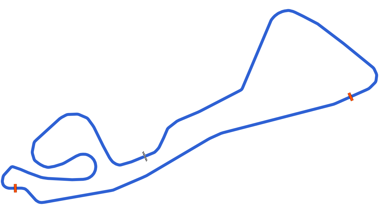
A 2.1 km circuit in Mendig. Timed layouts, lap times and what you need to know before a track day here.

Going to Mendig?
See which corner costs you the most time.
Record the session on your phone. Vetkuro splits the laps, times every sector and shows where the gap to your best lap opens.
Filming your laps?
Put speed, delta and lap time on your onboard video.
Overlay the data from the same session on the footage, synced automatically. One file to watch back, or to share.
Driving with friends?
Find out who is faster, and in which corner.
Overlay two laps from the same day and see exactly where the gap opens, not only the final number.
Track layouts
-
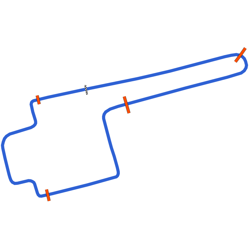 Mendig
4.15 km
No laps yet
-
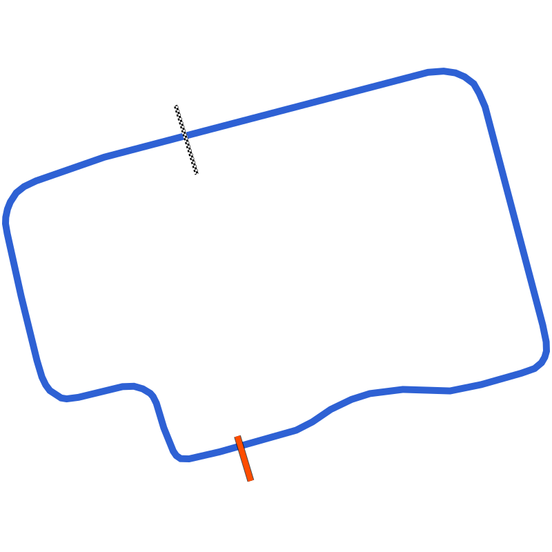 Mendig License Course
2.1 km
No laps yet
-
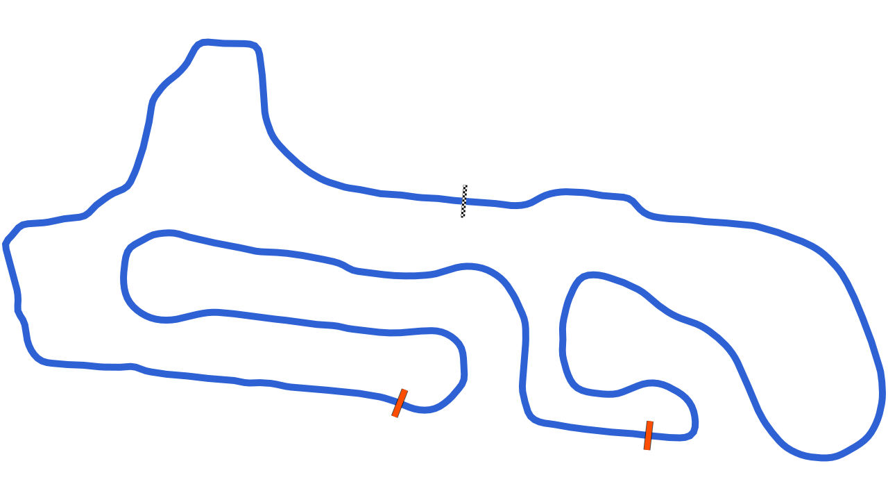
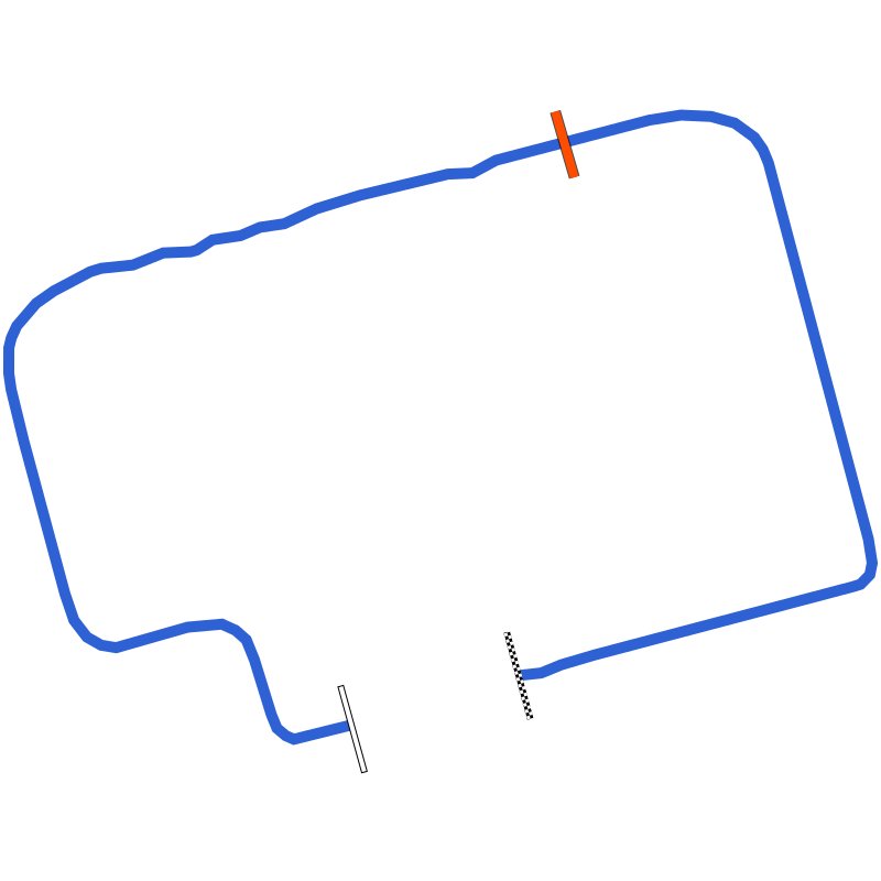 Mendig Performance Parkour T2
1.903 km
No laps yet
-
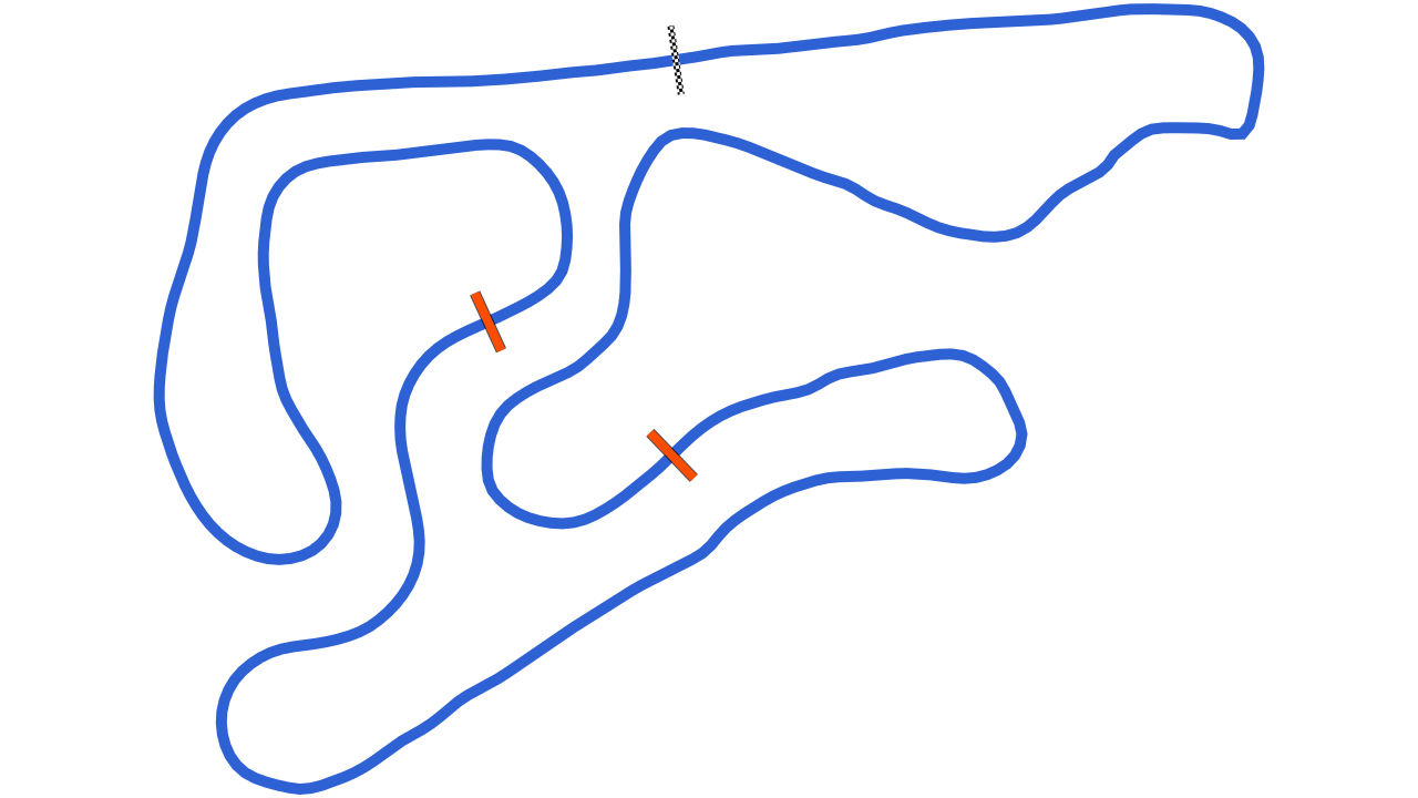
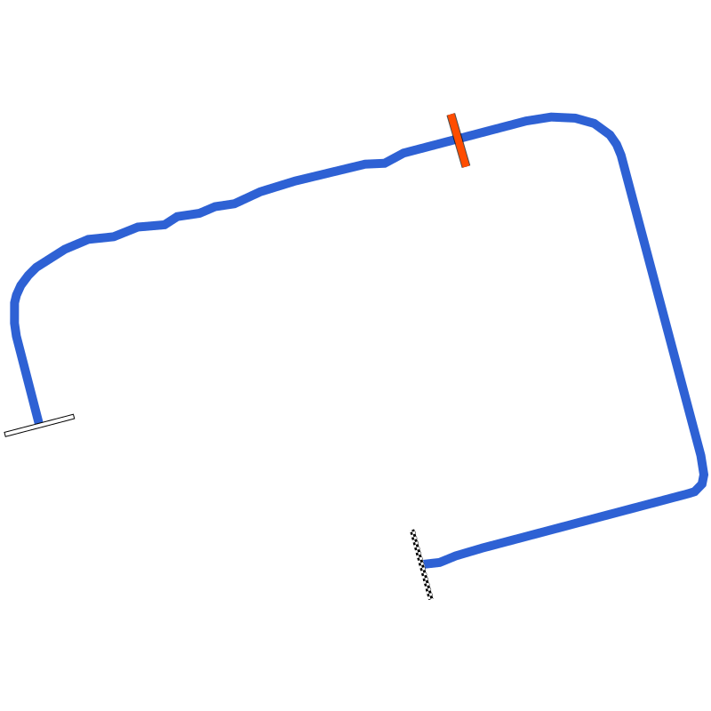 Mendig Performance Parkour T1
1.503 km
No laps yet
-
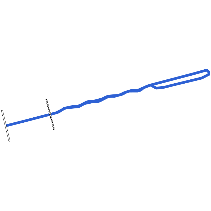 Mendig Schneller Slalom
0.881 km
No laps yet
-
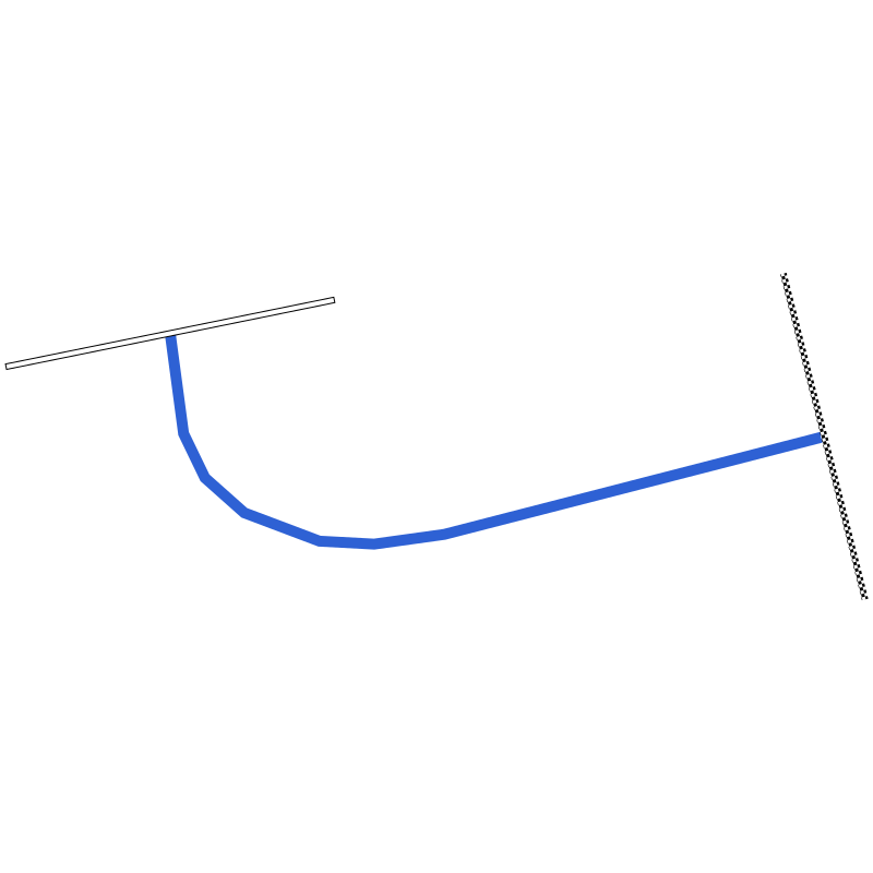 Mendig Kurvenbeschleunigung T2
0.171 km
No laps yet
Lap times only compare within one layout.
Going to Mendig?
See which corner costs you the most time.
Record the session on your phone. Vetkuro splits the laps, times every sector and shows where the gap to your best lap opens.
Filming your laps?
Put speed, delta and lap time on your onboard video.
Overlay the data from the same session on the footage, synced automatically. One file to watch back, or to share.
Driving with friends?
Find out who is faster, and in which corner.
Overlay two laps from the same day and see exactly where the gap opens, not only the final number.
Recorded on Vetkuro · No sessions yet
Mendig lap times
Timed from GPS on real track days, not typed in. Compare within one layout and one vehicle class, because a motorcycle lap and a car lap are not the same thing.
No recorded laps on Mendig License Course yet.
Record a session on this layout and your lap becomes the time other drivers in your class compare against.
Track day guide
Track day at Mendig
Weather by month, who runs the days and what to put in the car. Written for a first visit.
Who runs track days here
What to bring
- Helmet that meets the organiser's standard
- Long sleeves, long trousers, closed shoes
- Tyre pressure gauge, since pressures rise fast on track
- Removable towing eye fitted or in the car
- An empty boot: loose items out before the first session
- Your phone in a rigid mount, recording with Vetkuro
Weather by month
Now, in November: 8°C by day, 2°C at night, rain on 14 days. Warmest in August, 25°C by day on average. Coldest in January, −1°C at night. Fewest days with rain: September.
Rain: days with rain per month. Climate: NASA POWER, daily data 2016–2025. Monthly averages, not a forecast. Check the organiser's calendar for open dates. The data was obtained from the National Aeronautics and Space Administration (NASA) Langley Research Center's Prediction Of Worldwide Energy Resources (POWER) project funded through the NASA Earth Science Division.
Elevation profile
Mendig elevation
Elevation change 9 m, steepest gradient 2.5%. The highest point, about 180 m above sea level, is 1.88 km from the start line; the lowest, about 171 m, 0.74 km.
Height above sea level, approximate. HoverTouch the profile for any point.
From a terrain model, sampled every 10 m along the track line and smoothed over 100 m. Heights above sea level are approximate: trees and buildings along the line read up to about 15 m high. Produced using Copernicus WorldDEM-30 © DLR e.V. 2010-2014 and © Airbus Defence and Space GmbH 2014-2018 provided under COPERNICUS by the European Union and ESA; all rights reserved. The organisations in charge of the Copernicus programme by law or by delegation do not incur any liability for any use of the Copernicus WorldDEM-30.
Going to Mendig?
More to do with the session than the lap time
About Mendig
Mendig License Course is one of 6 layouts at Mendig: 2.1 km, 2.05 km shorter than Mendig, with 6 corners, one about every 350 m.
No session has been recorded on this layout yet, so its lap-time board is empty. Lap times and sessions on this layout are tracked separately from other configurations.
Overview
Mendig is a former military airfield in the Eifel, just south of the town of Mendig in the Mayen-Koblenz district of Rhineland-Palatinate. After military flying ended it became a civilian site, and its driving and testing business took the name Test Event Area (TEA) Mendig. The operator rents the tarmac to carmakers, tyre and component suppliers, event agencies and film crews, and outside organisers hold track days there for drivers in their own cars. An exit of the A61 motorway is a short drive away, and the operator puts the Nürburgring roughly half an hour away by road.
Technical Specifications and Track Features
The driving area is made of the old runway, taxiways and aprons rather than a purpose-built road circuit. The operator lists a smaller circuit of 2,100 m and a larger one, plus a straight motorway-style section with painted lane markings and an S-bend set out to Euro NCAP guidelines for testing driver assistance and safety systems; that section has a quoted friction coefficient of 0.78. The runway itself is 36 m wide. A 40 by 10 m sliding surface can be watered, and there are two further dynamic areas used for high-dynamic and stationary tests of brakes, tyres and other components. There are no guardrails and the run-off areas are large, and parts of the surface can be wetted on request. The ground can be booked exclusively or shared with other users.
Facilities and Specialized Areas
Several old base buildings were turned over to civilian use: the TEA central building, the former control tower, an event hall of 520 m² and Hangar 7, which offers 2,100 m² of floor space. Five equipped offices are available to engineering teams during test programmes, and a 50 by 50 m helipad allows arrival by helicopter. The site also works as a set for photo and film shoots, and several German TV channels have recorded car programmes there. Light aviation continues alongside: the field is licensed as a special-use airfield, a local sport flying club is based there, and an ultralight aircraft maker uses former helicopter hangars on the north side.
History
Aviation at Mendig began in August 1914, when a field airfield was set up south of the town to support the Western Front. The Luftwaffe established a base in 1939. US forces took the site in March 1945 and used it briefly as an advanced landing ground before handing it to the French in July. On 7 January 1957 it passed to the new Bundeswehr army aviation corps, which employed up to 1,300 soldiers and 200 civilians there. Army flying ended in 2007 and the flag was lowered for the last time on 30 June 2008. The land was sold to the property company Triwo, whose subsidiary Flugplatz Mendig GmbH owns and leases it. TÜV Rheinland started a vehicle testing operation on the site in 2008, which later took the Test Event Area name. Motor racing on the runways is not new: airfield races were held at Mendig from 1969 to 1971. The site has also hosted large events, including the Rock am Ring festival in 2015 and 2016.